


Circuit Rions, Une cité médiévale to Rions
6.8 km(s) 2h30 Difficulty : AverageEtape 1
Start and finish at the school car park and playground.Turn left onto Rue du 19 Mars 1968.
At the stop sign, head straight ahead; you’ll see the Rions chais on your left and follow the tarmac path downhill.
You’ll see banana trees on your right.
At the end of the lane, head towards the ramparts.
Etape 2
With the citadel on your left, carry on straight ahead.At the end of the path, turn left, then left again.
After the climb, turn right.
Walk round the Place d’Armes on the right-hand side; you’ll see Château Salins on your right.
Turn left again to walk round the Place d’Armes towards the Round Tower.
Etape 3
Walk between the house on the right and the round tower on the left. This is the old rampart walk, the eastern causeway.The Circle Populaire will be on your left.
Opposite is the Tour du Lhyan, then Boulevard de la Libération.
When you reach the D10, cross over to the other side at the pedestrian crossing (slightly to the right).
Etape 4
Joachim Garcia’s business on the left.Go straight on. Signpost on the left.
At the top of the hill, turn round to take in the view, then go straight on – vineyards on the left, woodland on the right – and turn left straight away.
Carry on straight ahead.
Pass between the houses and carry on straight ahead.
At the end of the path, take the tarmac road on the left.
Etape 5
Turn left onto the path through the trees. Please note: there is a missing signpost.At the end of the path, turn left through the vineyards; Château Cayla will be on your right.
As you come out of the woods, do not turn left into the vineyards; please note that the signpost is on the right in a hollow in the woods.
At the end, go straight on.
At the end of the path with the rubble, turn right: please note that the signpost is hidden by vegetation.
Turn right and then immediately take the steps on the left.
Turn right onto the tarmac road.
Carry straight on until you reach the picnic table.
Take in the view; there is an orientation table.
Etape 6
Head straight on towards Tapy and Fontanille, then turn left and follow the road downhill. View of the medieval town of Rions.At the stop sign on the RD10, turn left.
At the bus shelter, cross the road, head straight ahead and return to the starting point at the playground.
Files
to consult
New PDIPR 2026 route:
Set off to explore Rions, a charming medieval town on the banks of the Garonne.
This route takes you to the foot of its citadel and along its ramparts steeped in history, before leading you up to its rolling hillsides, which offer beautiful panoramic views of the vineyards and the Garonne valley.
- Pets allowed
You may also like
nearby...
 Activities and visits
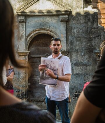
David SOUNY – Stories of Stones
 Activities and visits
A village in Gironde: Rions
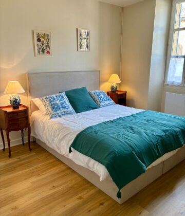 Meublé et chambre d'hôte
Loustal Botanica

La Maison Georges
 Cultural heritage
Un Village en Gironde : Rions
 Festivals and events
Cadillac-sur-Garonne Saturday morning market

At Flo’s

Le Corbusier water tower in Podensac
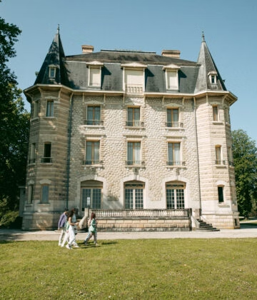
Domaine Chavat
